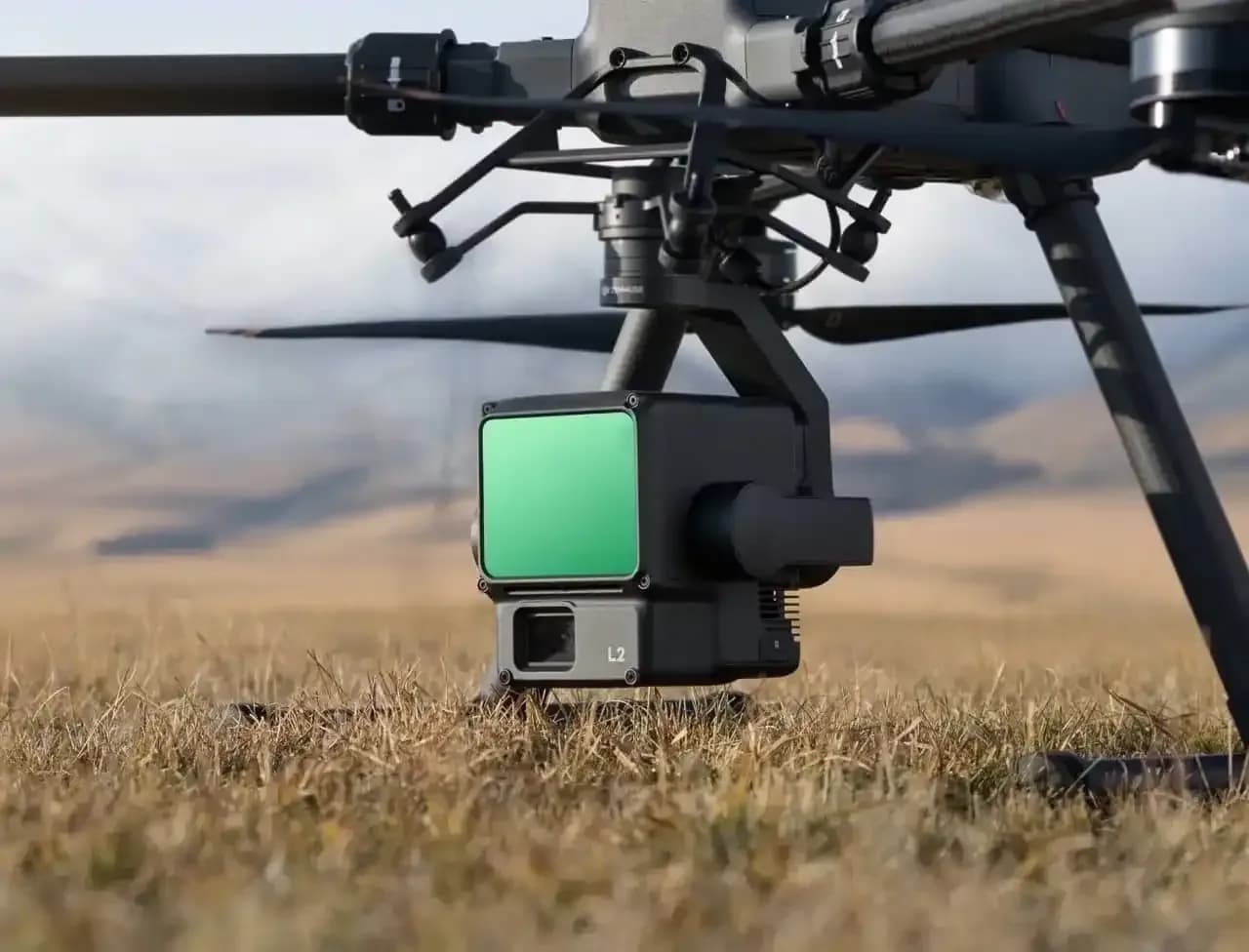
Terrain model using LiDARAn accurate 3D surface model and elevation scheme based on LiDAR scanning.ClientConstruction companyLocationSamarkand regionYear2025